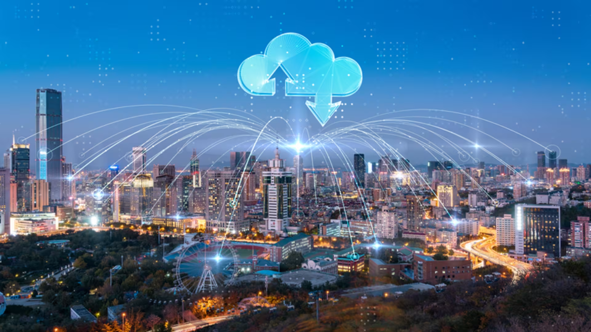

Geofencing is a digital technology that imposes itself on the physical world, creating invisible, digital boundaries around geographic areas, according to HowStuffWorks. When a device, such as a smartphone, crosses a geofence, an action is automatically taken. Depending on the purpose of the geofence, the action may be to push ads to consumers or send an alert to the owner of a fleet of commercial vehicles.(See disclaimer 1 )
Virtual fencing is one type of technology you may study if you choose to pursue a technology degree. At GCU, you can choose from a broad range of tech degrees, including a degree in computer science. Our university aims to graduate practice-ready tech enthusiasts who are prepared to push the boundaries of innovation.
Geofencing Definition
Geofencing technology began to gain traction during the 2010s as smartphones with integrated GPS became more widely adopted. A geofence is a digital boundary programmed to encircle a physical, geographic area. It facilitates the digitization of location-based services, such as alerts that are triggered when a boundary line is crossed.(See disclaimer 1)
How Geofencing Works
Geofencing works by using a combination of GPS, radiofrequency identification (RFID), Wi-Fi and cellular data to set up a geofence for virtual monitoring within the specified boundaries, according to Radar. When a smart device crosses a boundary line, the action triggers a response, such as an automatic alert.(See disclaimer 2) The technology only works if the device has enabled location-sharing data.(See disclaimer 1 )
Virtual Boundaries
The first step in setting up a geofence is to designate a geographic location. A geofence may encompass an area as small as a coffee shop. It may also encircle an entire neighborhood or region.
There are different types of geofences, including:(See disclaimer 2)
GPS and Other Location Technologies
The geofence is established using location-based technologies, such as GPS, RFID, Wi-Fi and cellular data. These technologies are harnessed by geofencing software, which uses location services to set up automated monitoring within the specified area.(See disclaimer 2)
Location-based data sharing must be enabled on the device in order for the geofence to work. GPS provides precision location-tracking, while Wi-Fi can establish proximity based on the Wi-Fi networks in the area. Cellular data can be used to triangulate a person’s location based on proximity to local cell towers.(See disclaimer 1)
Trigger Events and Automated Responses
When a user is within or near a geofence, the geofencing technology monitors the device’s location. If the user crosses into the area or leaves the area, the travel across digital boundary lines will trigger an automated response. The automated response can vary widely, from stores sending a discount offer to people approaching their location(See disclaimer 1 )to real-time monitoring of shipments within the logistics industry.(See disclaimer 2)
Key Components of Geofencing Technology
How does geofencing work? It relies on the following geofence technology:
What Is Geofencing Used For?
Geofencing is used to create a virtual boundary around a specific geographic area, allowing businesses and organizations to trigger targeted actions when people enter, leave or spend time within that location. It is commonly used for location-based marketing, customer engagement, audience targeting, security and operational purposes.
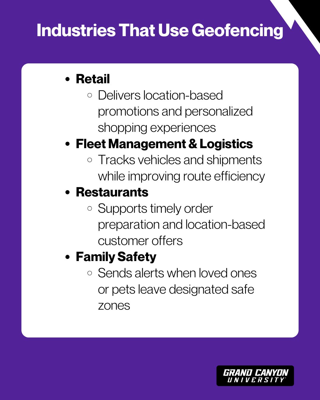
Here are few industries that use geofencing:(See disclaimer 2)
Retail
In the retail industry, stores may use geofencing technology for marketing and advertising purposes. For example, as a customer approaches a store, the geofence may push a sales notice or discount offer to the customer’s phone. When the customer enters a store, the geofence may trigger the appearance of an in-app map of the store that can lead the customer to the products they’re interested in.(See disclaimer 2)
Fleet Management and Logistics
A geofence can be useful for fleet management. Along with designating a specific shape or distance for a geofence, geofences can be designated along corridors of travel. This allows companies to track vehicle locations along that route and be alerted automatically if a driver deviates from the established route. This use of a geofence may also help optimize route planning, potentially reducing fuel costs.(See disclaimer 2)
Logistics managers may also use a geofence. They can receive real-time alerts when vehicles enter loading zones or delivery points. A geofence can also alert individuals to deviated shipments.(See disclaimer 1)
Restaurants
Similar to retail stores, restaurants may use a geofence to push coupon offers to customers. Geofencing can also support the customer experience in the restaurant industry. For example, a customer calling in a pick-up order may trigger an alert when they are 20 minutes away from the restaurant. At this point, the restaurant can start preparing their order so that the meal will be hot and fresh when the customer arrives.(See disclaimer 2)
Family Safety
Many companies use geofences, but so too can individuals and families. Parents, for example, can designate a geofence around their home and yard. By placing a smart tracker on their child, they can then receive an alert if their child wanders off. These alerts can also be helpful for families taking care of elderly loved ones with memory problems, and it can enable smart tracking of pets.(See disclaimer 1)
Benefits of Geofencing
Geofencing offers businesses a powerful way to connect with audiences based on real-world location. By delivering timely, relevant messages to people within specific geographic areas, geofencing can help improve targeting, increase engagement, drive foot traffic and make marketing campaigns more effective.
Improved Targeting and Personalization
In industries such as retail, the use of a geofence can improve personalization of marketing efforts, as well as precision targeting of customers. For example, a retail store may tailor notifications to current customers upon entering a geofence, such as loyalty rewards or discount offers.
Operational Efficiency
In other industries, geofencing technology can improve operational efficiency. It may accomplish this by enabling logistics managers to optimize shipping routes to minimize fuel consumption. It can also alert personnel instantly when a shipment deviates from its intended course or if a shipment is going to be late.
Peace of Mind
When used at the individual or family level, rather than at the corporate level, geofencing may provide peace of mind. Families can be notified if their loved ones leave a designated area. They can also instantly see where their loved ones are in the event of an emergency.
Challenges and Limitations of Geofencing
Despite the potential benefits of virtual fencing, it does have some drawbacks to be aware of, particularly privacy concerns.
Privacy and Compliance Considerations
Not everyone enjoys the idea of being tracked everywhere they go. Not only do many individuals have privacy concerns about location-based data tracking, but there is the potential for the data to be misused or for collected data to be vulnerable in the event of a cybersecurity breach.
The use of location tracking technology requires strict compliance with regulations, including the General Data Protection Regulation (GDPR) in Europe and the California Consumer Privacy Act (CCPA) in California. Apps must be transparent about how and why users’ location data is being collected and used, and they must obtain explicit user permission.(See disclaimer 2)
Accuracy and Signal Limitations
A geofence relies on the collection of location-based signal data, such as data from cellular, Bluetooth or Wi-Fi. These technologies aren’t foolproof, and sometimes they aren’t accurate. Tall buildings in urban environments, for example, can interfere with GPS, according to Radar.(See disclaimer 3)
Conversely, large open areas may offer too few signal sources. Similarly, if a user is traveling fast, the location updates may lag, preventing real-time tracking.
Study Computer Science at GCU
At GCU, our BS in Computer Science program is designed to build a strong foundation in areas such as programming, software development and computing technologies, such as geofencing. The Bachelor of Science in Information Technology Degree develops students’ practical abilities in computer systems, architecture and data management. Through a combination of coursework and hands-on learning, students can develop technical and problem-solving skills that can help prepare them for careers in the evolving technology field.
Pursue Your High-Tech Future at GCU
Study computer science at GCU and prepare to push boundaries in technology.